
Collin County Neighbors by Block
Public sources around a Collin County address work in layers. The GIS map establishes which parcels touch the target lot and places them within a subdivision, municipality, ZIP area, or ETJ. The Collin Central Appraisal District, known as CCAD, supplies tax-roll clues for a particular parcel. The County Clerk preserves recorded land instruments when a dated ownership question calls for them. Elections and association sources have more limited roles. None of these sources creates a complete list of the people in nearby homes.
| Source | What It Shows About a Block | Access |
|---|---|---|
| Collin GIS Parcels | Touching parcels, lot geometry, subdivisions, abstracts, and city, ZIP, or ETJ overlays | Free public map and query service; selection limit of 2,000 |
| CCAD property search | Tax owner, mailing and situs addresses, legal description, value, and parcel identifiers | Free owner, address, property-ID, and legal-description search |
| County Clerk land index | Recorded transfers, liens, plats, and notices tied to legal parties and descriptions | Public index; official or certified copies through the Clerk |
| Collin Elections file | Authorized file fields can include registration and mailing addresses, districts, and participation history | Paid county order with Election Code limits; not a street-map lookup |
| HOA certificate or city program | Association or management contact routes for a community | Public certificate search or municipal program; not a member roster |
For Collin County neighbors, an owner is not automatically an occupant. A tax mailing address can be elsewhere, and a situs address identifies the parcel itself. A deed can identify a party to a transaction without naming current residents. Use each result for the specific fact it records, then keep dates beside the result so a historical transfer is not mistaken for a current condition.
Collin County Neighbor Map Layers
The Collin County GIS Interactive Map service is the first geographic stop. Turn on Parcels and Subdivisions, then add Abstracts when an older land-survey clue matters. Its published layers also include ZIP Code, municipalities, ETJ Boundary, ISD Boundary, schools, cemeteries, bridges, county projects, and other geographic context. Identify lets a reader click a mapped feature, while Query, Find, and Export Map are published service operations.
The official GIS parcel service documents the Parcels, Subdivisions, and Abstracts layers used to orient Collin County neighbors around one address.
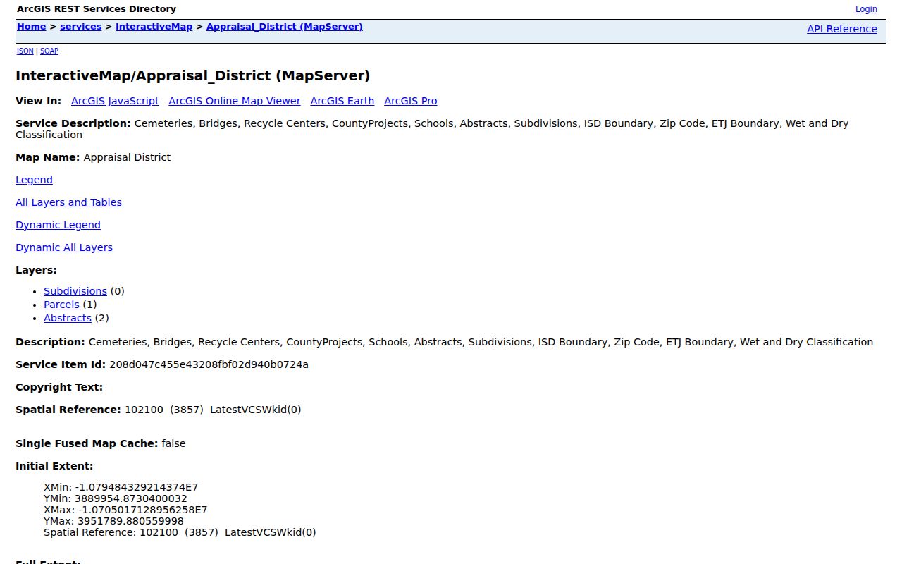
Parcel outlines show adjacency and local boundaries, but the service is not certified title evidence and does not identify every person connected to a home.
The REST description sets a maximum selection of 2,000 features. It lists Query, Find, and Export Map, but research did not locate a separate radius button. When no buffer control appears, browse the map and use each touching polygon instead of implying that a radius result exists. Map geometry remains a useful way to see an edge between a city, an ETJ pocket, a subdivision, or a postal area.
Map a Collin County Neighbor Block
Use a small, repeatable parcel trail for the immediate block. A parcel is a defined piece of land in the assessment and map systems. Its situs address is the physical property address, while its mailing address is where tax correspondence is sent. Those fields are different evidence. The process below holds the inquiry to touching lots and avoids turning a map into a household directory.
- Locate the target address in the GIS service and enable Parcels and Subdivisions.
- Use Identify on each polygon that touches the target parcel. Record the public parcel or geographic ID, legal-description clue, subdivision, and any relevant ZIP, municipality, or ETJ overlay.
- Search the same parcel in CCAD by address, property ID, geographic ID, or legal description. Note the tax owner and the distinction between mailing and situs address.
- For a defined historic ownership question, search the owner as grantor or grantee in Collin County Land Records Online Search. The Clerk’s historical route covers records from 1843 through 1975; request an official copy by document number or book and page when one is needed.
CCAD supplies the parcel-to-owner relationship and the County Clerk supplies the recorded-document layer. A recorded deed is indexed through parties and legal description, so a street-address-only deed search can miss the instrument. For a complete named-street chain rather than an immediate-block question, use the Collin County street directory.
Collin County Neighbors Are Not a Roster
A public CCAD owner result or voter result is not a full household roster. Mailing, situs, registration, and occupancy describe different facts. The owner may receive correspondence away from the property. A voter record, when lawfully available, concerns registration rather than every person in the home. A historic directory can tie a name to an address at its publication date, but it does not establish a present connection.
That distinction matters most on a busy block. Do not infer that adjoining owners know one another, that every occupant is listed, or that a map label proves a relationship. Unlisted telephone information, utility and delivery accounts, motor-vehicle address data, and private household composition are not general public block data. Treat a parcel owner as a legal or tax-record role, not as a statement about every Collin County neighbor at that address.
Note: Record the custodian and search date beside each result so a parcel, registration, and directory clue remain separate evidence.
Collin County Neighbor Voter Records
The person-facing Collin County voter-registration search uses first name, last name, and date of birth. It redirected during inspection and returned an unhandled error, so its exact result display was not confirmed. The visible form is still a name-and-date lookup, not a public control for browsing a street or mapping a block.
| Election channel | Useful fact | Limit |
|---|---|---|
| Public lookup | Registration matching by first name, last name, and date of birth | No documented street or block browse |
| Election Store file | County/state IDs, registered and mailing addresses, districts, registration dates, and voter history may be available | Paid, county-only order with Active and Suspense selections |
| Participation data | Whether a person participated in an election or primary | Does not disclose ballot choices or establish a permanent party registration |
The Collin Elections Election Store explains the county-file route. Texas Election Code §18.009 bars using a voter list to advertise or promote commercial products or services, with a Class A misdemeanor for violation. Protected voters can suppress a residence address, and Address Confidentiality Program participants do not appear as ordinary public address data. A Suspense status can mean an address needs updating while the voter remains eligible, not that registration ended.
Collin County Neighbor Associations
Association resources can identify a public contact route for a Collin County neighborhood. They are not resident directories. The Texas HOA management-certificate search for Collin County can be filtered by association type, HOA name, city, and ZIP. Captured results included Grace Park HOA in Allen, Grand Estates in Anna, Grayhawk Park in Wylie, Greenspoint in Prosper, Haggar Square in Plano, and Hardin Village in McKinney.
| Community channel | What it can provide | What it cannot establish |
|---|---|---|
| Texas HOA certificate search | Association and management-certificate contact information | Membership or household list |
| Frisco official HOA directory | Association and management contacts | Unlimited reproduction or data conversion, which the directory restricts |
| Plano BEST | Support for voluntary HOAs, neighborhood associations, crime-watch, and non-mandatory-association areas | A universal roll of Plano residents |
| McKinney Neighborhood Services | More than 152 HOA or neighborhood groups and quarterly leader meetings, as reported in a city document | A verified current directory for every group |
The state management-certificate results provide a public starting point for association contacts, not a list of Collin County neighbors.
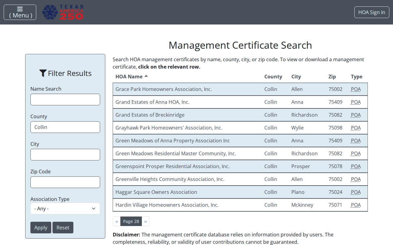
Use the result to contact an organization through its published route, then respect any reproduction limits and do not assume that membership details are public.
Collin County Neighborhood Contact Routes
Outside a formal association, community information is scattered. Plano BEST works with voluntary associations, crime-watch groups, and areas without a mandatory association. Frisco’s official directory gives another municipal route. McKinney’s Neighborhood Services report describes quarterly leader meetings, but research did not locate an exact current contact directory for every municipality or group. A city neighborhood office, a management certificate, or a library community-history project is a better starting point than an assumed roster.
The Plano BEST neighborhood-services page describes the city’s support route for associations and neighborhood programs relevant to Collin County neighbors.
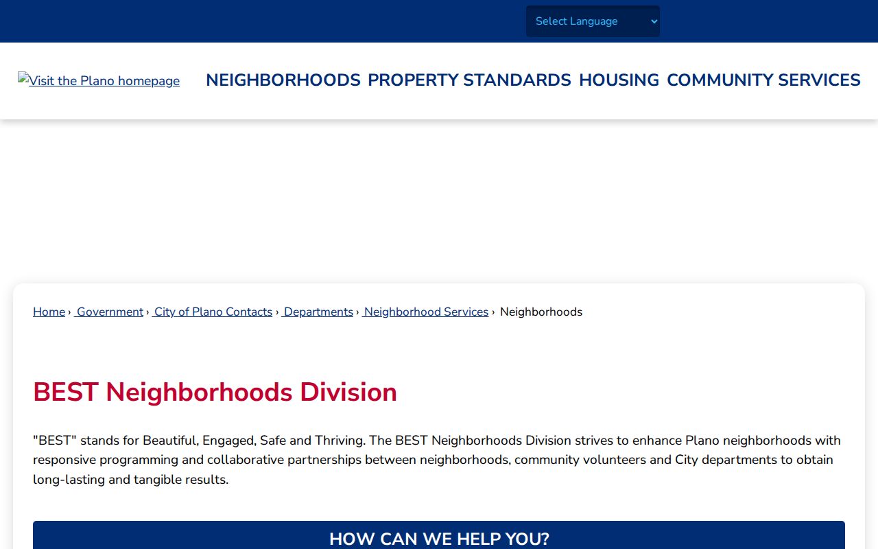
For historical community clues, W.O. Haggard Library, the Collin County Genealogical Society, the Collin County History Museum, and UNT’s Portal to Texas History can help locate directories, newspapers, maps, and association context without exposing private member data.
Sources for Collin County Neighbors
Official records and commercial neighbor products answer different questions. A county map, CCAD parcel card, County Clerk index, Elections order, or municipal association page identifies its custodian and the scope of its record. A commercial compilation can blend public filings, directory material, marketing data, and purchased datasets. Such compilations can be stale, combine people with the same name, and use correction processes that vary by provider.
| Official record channel | Commercial compilation category |
|---|---|
| Names a public custodian and its record type | May merge data from several sources |
| Supports checking a parcel, legal description, or recorded document at its source | May retain old addresses or mix same-name profiles |
| Has defined access rules, correction routes, and confidentiality exceptions | Uses its own correction and opt-out procedure |
For a correction, contact the actual custodian first: CCAD for appraisal fields, the County Clerk for recording matters, Elections for registration information, and the city or county records officer for permit data. Texas consumer privacy rights may help a qualifying person request access, correction, deletion of supplied or obtained data, or an opt-out from covered data controllers. They do not erase a deed, tax record, court docket, or voter record that a government custodian must keep.
Collin County Neighbor Privacy Limits
Texas keeps several address-related facts confidential. The Texas Address Confidentiality Program provides a substitute address and mail forwarding for eligible survivors of family violence, sexual assault, stalking, trafficking, or child abduction. That information should never be reverse-engineered. Protected voters may suppress their residence address. Social Security numbers, Texas driver-license numbers, and DPS personal-ID data are confidential in election records, while motor-vehicle personal data is separately restricted.
A missing address is not proof that someone moved. It can reflect a protected record, a separate mailing address, an incomplete source, or a record type that never reported residence. The County Clerk’s online land portal also warns about redactions. Obtain a certified copy from the Clerk when a formal document is needed, and avoid reproducing redacted or unnecessary personal information.
Lawful use. Use Collin County neighbor records for a limited personal or civic question, and respect the source’s access rules. Repeated unwanted contact, surveillance, threats, or sharing protected information can violate Texas harassment or stalking law.
Note: A parcel map shows land geography, not a map of people, relationships, or private household details.